Brooklyn’s been around for a pretty long time. We don’t mean as a geological entity, we mean as a piece of land settled and divvied up by white people. Sometimes you might even wonder what Brooklyn looked like back in the days when it was fashionable for men to have wild sideburns and churn their own butter. Fortunately, the Smithsonian is here to give you a bit of a look into that past. Not with a Google StreetView car that can time travel, sadly, but with an interactive map that shows the layout of our beloved Brooklyn today and in 1836.
The Smithsonian’s map looks like a normal Google Map, but then when you move a magnifying glass over a section of it, the map magically, or through some kind of HTML programming more likely, shows a map of the same spot from 1836. What can we learn from the map? Well, Myrtle Avenue existed back then, but it passed through a lot of empty space. Probably farmland.
Red Hook looks like it was as impossible to get to as it is today, which is an impressive feat considering the only way to get anywhere back then was horses, on foot, and if you were really lucky, a time traveling car that just so happened to pop into existence in front of you. That was pretty rare though. The map, according to the Smithsonian, was made by Jospeh Colton, and was used more for decoration than functionality. Which is why you don’t see Prospect Park, Bay Ridge, Coney Island or Sunset Park. They probably didn’t know about the tacos down there though, in fairness.
Related Articles
Brooklyn’s Wegmans will open October 27th, hiring now
Wegmans, the upstate New York-based grocery store will open its first Brooklyn location this fall.
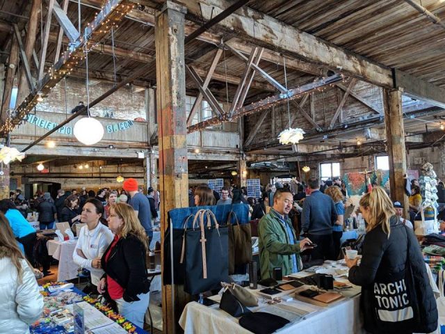
Get groovy at the Greenpointers Flower Power Spring Market (Sun, April 7th)
The not-to-be-missed Greenpointers Flower Power Spring Market is this Sunday on the Brooklyn waterfront.
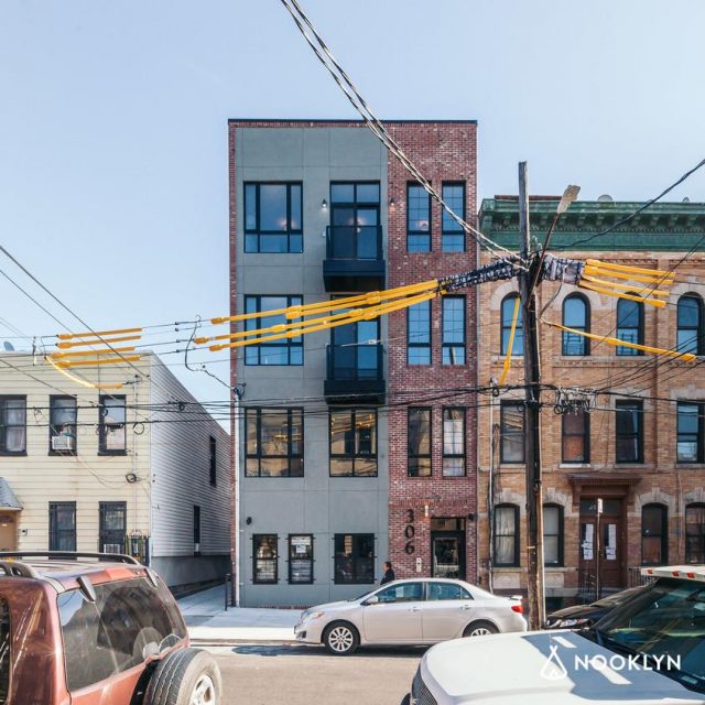
Apply for the NYC affordable housing lottery at these Brooklyn buildings
A number of new Brooklyn buildings currently have “affordable” units to apply for under the NYC housing lottery.
Leave a Reply